

01 / Sango Information Hub
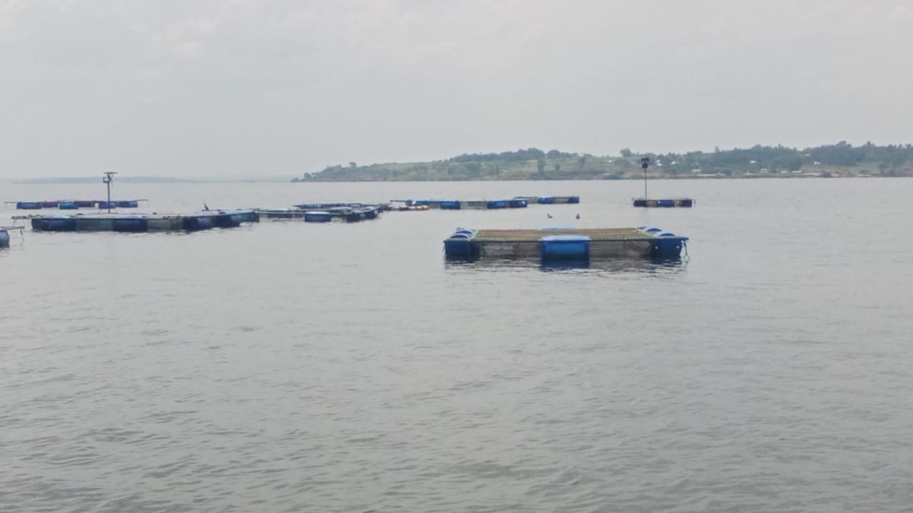
We care about Lake Victoria.
We have established a very solid stakeholder engagement, community involvement and information gathering network through outreaches, promotional activities and content tapping and dissemination strategies.
The basin is a living system
What happens here reaches far beyond the shoreline.
Lake Victoria is a source of food, livelihoods, memory and movement for millions of people. Its rivers, wetlands and communities are connected—and the information that helps protect them should be connected too.
Sango Information Hub works across counties to turn local knowledge and environmental reporting into a public resource. We listen, investigate, map and share what matters.

02 / Community
The work begins with people.
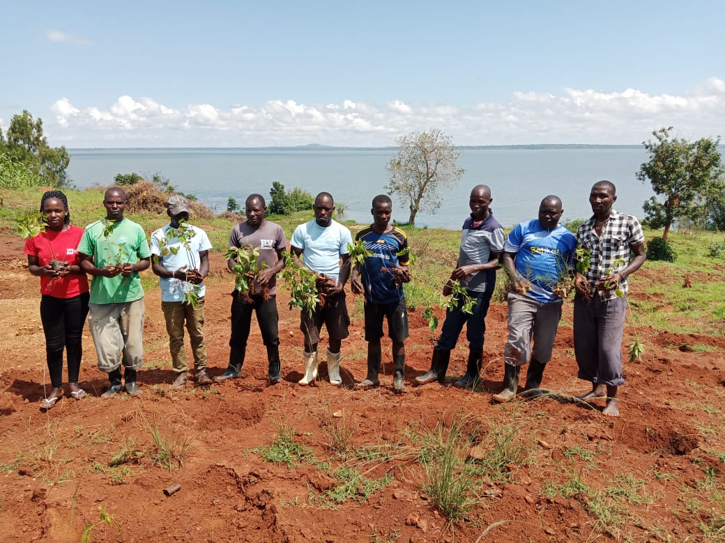
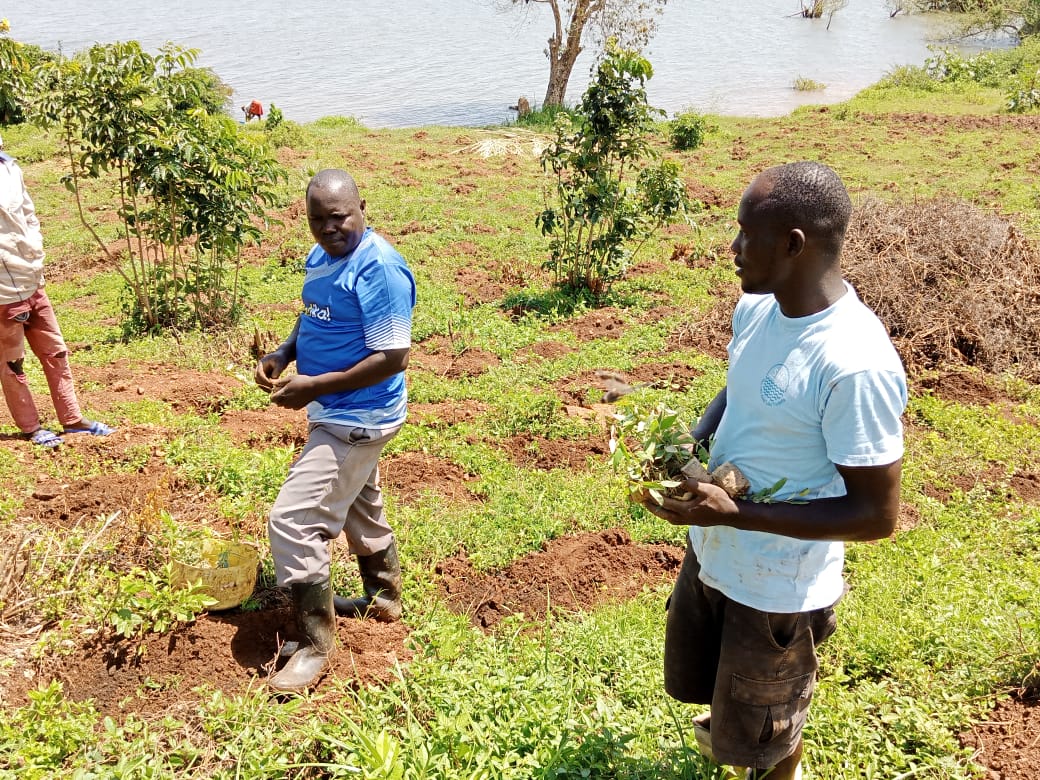
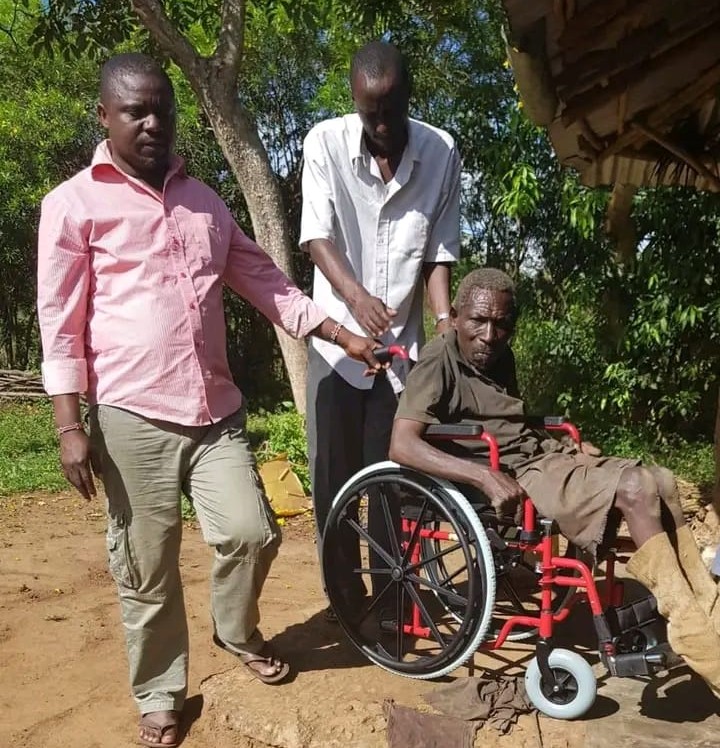
The basin is not an abstract geography. It is the farmer, fisher, correspondent, youth group and neighbour whose daily choices shape its future.
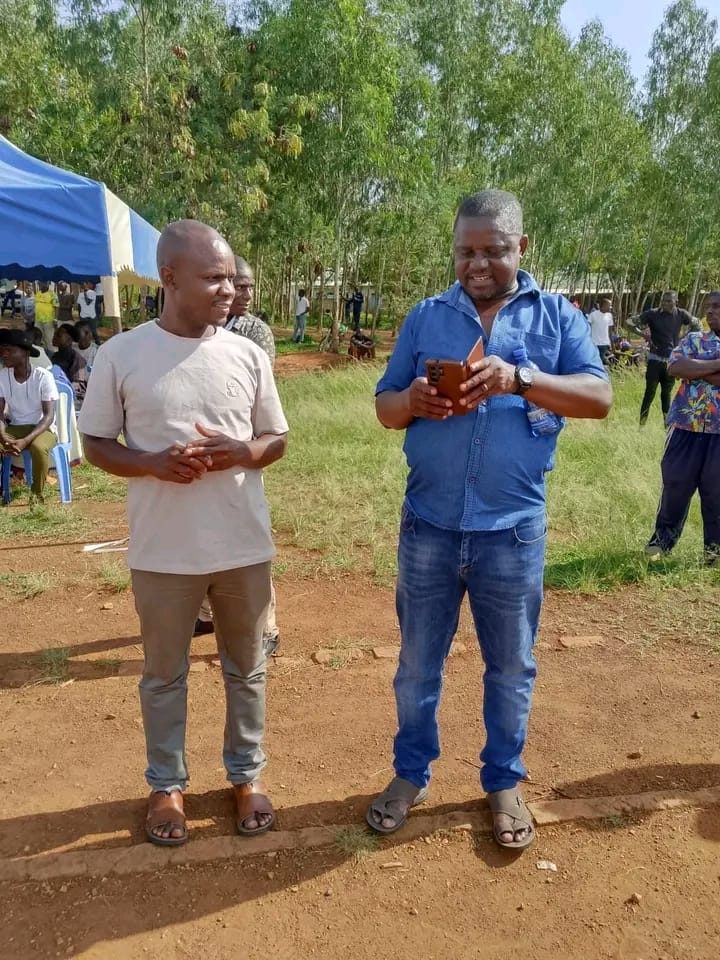
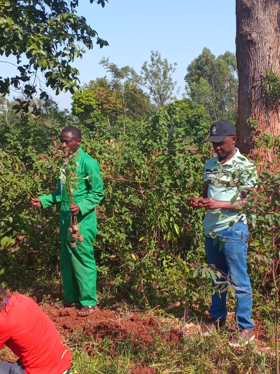
Through local outreach, story-gathering, and community forums across Kisumu, Homa Bay, Siaya, and Busia, we build lasting local engagement.
03 / Stories
Featured Articles
04 / Impact
Information becomes action.
Measurable progress across the Lake Victoria Basin, empowering communities with verifiable environmental knowledge and flood resilience.
Counties Covered
Kisumu, Homa Bay, Siaya & Busia catchment zones across Western & Nyanza Kenya.
Field Correspondents
Local reporters and community observers actively tracking basin environmental data.
Residents Reached
Directly engaged through flood risk advisories and local story dispatches.
Community Driven
Grassroots knowledge management protecting natural ecosystems and livelihoods.
05 / Basin intelligence
See the basin as a whole.
Interactive GIS mapping of catchments, flood hazards, and correspondent coverage across Lake Victoria Basin.
Basin Catchment & Regional Network
River Nzoia, Yala & Suo catchments across Kisumu, Homa Bay, Siaya, and Busia.
Busia County
Catchment & Features:
Lower Nzoia & Suo Basins, Lake Victoria shoreline, Port Victoria, Fort Jesus Road SIHU HQ